
www.oilgastechnology.com
29
'26
Written on Modified on
Deep Azimuthal Resistivity Mapping for Enhanced Reservoir Navigation
SLB introduces a high-resolution 3D reservoir mapping service designed to improve geosteering accuracy and maximize reservoir contact in complex horizontal drilling operations.
www.slb.com
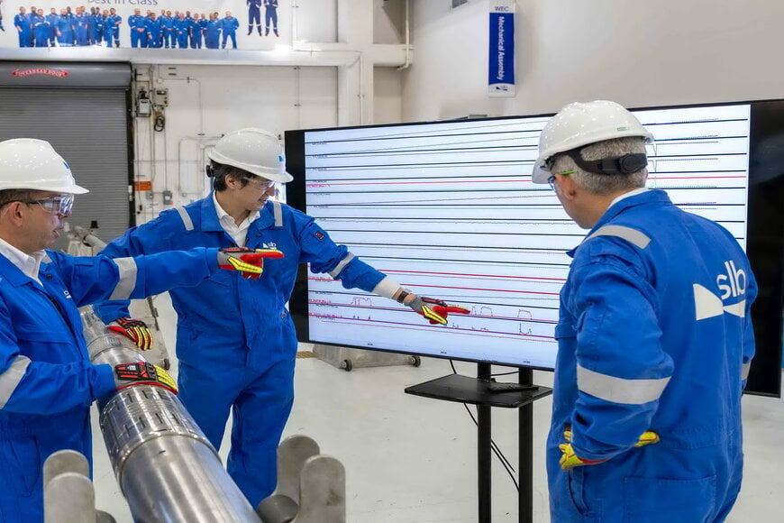
The AlphaSight system provides real-time subsurface visualization through extra-deep azimuthal resistivity sensors and downhole computing to optimize well placement. By integrating look-ahead-while-drilling capabilities, the technology enables operators to identify geological boundaries and fluid interfaces before the drill bit reaches them, supporting the development of a more autonomous digital supply chain for energy extraction.
Subsurface Visualization and Sensor Integration
The technical relevance of this system lies in its ability to map reservoir structures at significantly greater depths than conventional logging-while-drilling (LWD) tools. The hardware utilizes the industry’s shortest extra-deep azimuthal resistivity sensor configuration. Reducing the distance between the sensor and the drill bit minimizes the lag between data acquisition and bit positioning, which is critical for maintaining the trajectory within the target pay zone.
By employing 3D multi-depth mapping, the system generates a high-fidelity model of the subsurface. This allows for the detection of remote boundaries and faults that might otherwise be missed by standard electromagnetic tools. In complex geological environments, such as those found in the North Sea or the Middle East, this increased depth of investigation ensures that horizontal wells remain within the most productive sections of the rock formation.
Real-Time Geosteering and Autonomous Operations
The integration of downhole computing allows for the processing of petrophysical data at the point of origin. This reduces the bandwidth requirements for mud-pulse or wired-pipe telemetry, enabling faster decision-making for geosteering. The look-ahead-while-drilling functionality specifically addresses the challenge of "drilling blind" into unknown geological transitions. By identifying approaching hazards or oil-water contacts, the service prevents the bit from exiting the reservoir, thereby increasing total reservoir contact.
Operational data from deployments in North America and Asia indicate that these measurements are acquired without requiring a reduction in the rate of penetration (ROP). This maintains drilling efficiency while providing the granular data necessary for the automotive data ecosystem of autonomous drilling rigs, where real-time inputs drive automated steering adjustments.
Technical Impacts on Well Productivity
According to Cecilia Prieto, President of Well Construction at SLB, the system provides a transformation in well placement through its specific resolution and look-ahead capabilities. The objective of the technology is to empower operators with the clarity required to achieve higher production volumes per well. By refining the precision of well placement, the service reduces the technical uncertainty associated with landing and navigating horizontal sections in heterogeneous reservoirs.
The application of this technology is focused on high-stakes offshore and unconventional onshore assets where precise boundary detection is required to avoid geologically sidetracking. Through the use of extra-deep measurements, the system facilitates more accurate petrophysical characterization, ensuring that the final wellbore architecture aligns with the original reservoir model.
Edited by Evgeny Churilov, Induportals Media - Adapted by AI.
www.slb.com
